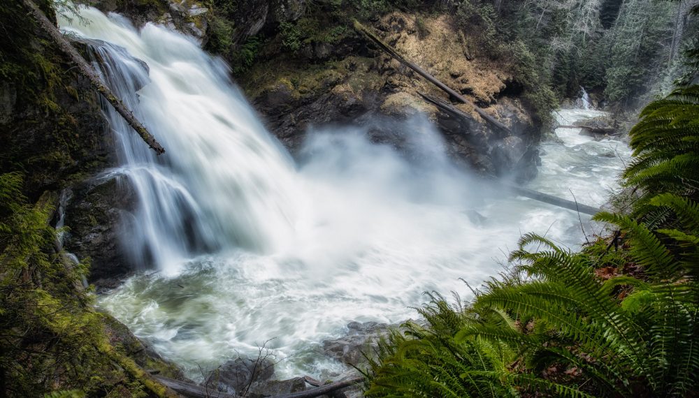
Darrington Waterfall Drive
This is a forest road drive that takes you to see four waterfalls with a couple of smaller falls along the way. All of the waterfalls can be seen from the road with the exception of the powerful North Fork Sauk Falls which involves a 0.2 mile hike. By the end of July most of these waterfalls will flowing much less or dried up depending on the season.
We’ll start our drive, driving from Darrington south on the Mountain Loop Highway. At 3 miles you will come the Forest Service Road #2060, Clear Creek Road on your right, this is also the road to the Eight Mile Trailhead, famous climbing route on Three O’clock Rock and Bornite. Drive up this road for about 2.5 miles to Asbestos Creek Falls. Before reaching this waterfall, you will also pass a nice unnamed smaller waterfall. When coming to a concrete ford in the road, you are at Asbestos Creek Falls, there is a wide spot just before the ford where you can park. This waterfall is 950 feet high, what you will see from the road is the lower drops of about 300 feet high.
At about 7 miles you will come to First Falls aptly named because it is the first waterfall to be seen driving the Mountain Loop Highway from Darrington. This waterfall’s volume relies solely on rain and runoff from snow melt though does flow most of the year, sometimes just a trickle.
When you approach the bridge crossing the Sauk River about 2 more miles to the left, (east). This is also the Cougar Hollow Scenic Drive. Drive about 4 miles to a nice seasonal waterfall on the right. To continue your waterfall drive return back to the Mountain Loop Highway.
Continuing on your drive down the Mountain Loop Highway, drive about 8 more miles south until you see Forest Service Road #49, Sloan Creek Road on the left (east). Turn up Sloan Creek Road and drive 1 mile. There will be pullout parking on the right (south), this is the trailhead to the North Fork Sauk Falls. This trailhead is not always signed. When you get out of your car, you can hear the waterfall thundering below as powerful waters are forced through a narrow gorge the dropping 60 feet.
This concludes your scenic waterfall drive. You finish your drive on Forest Service Road #49, which is also the scenic Sloan Creek Drive, a drive of about 9 miles with access to several nice trails. The Harold Engles Trail is a nice easy stroll though ancient giants of the forest. The early portion of the Bald Eagle – Curry Gap Trail travels along 3 more waterfalls involving fording streams.
