Bornite Trail
This is the old route to the Bornite Mine, where once men dreamed big and investors poured money into a huge venture intended to coax the wealth from the mountains. All this eventually faded leaving behind only historic reminders of this beautiful but exploited place.
After coming to the Eightmile Trailhead, the Copper Creek Road continues on. It is possible to drive further, but because of the road condition a wiser choice might be to park and walk in. After hiking about a mile on this road, you will begin to see the remnants of rotting puncheon and rail ties from the old mine ground tramway. You will also notice the enormous boulders, big as houses, that have rolled down Jumbo Mountain over the millennia. As you continue, you’ll cross a couple of streams that over time have helped erode traces of the tramway. After the trail ascends through conifer forest, you’ll see three leveled areas where cabins once stood. Keep an eye out alongside the trail for signs of light rail where the aerial tram started. From this point on you will see the ruins of the mining settlement once known as Bornite.
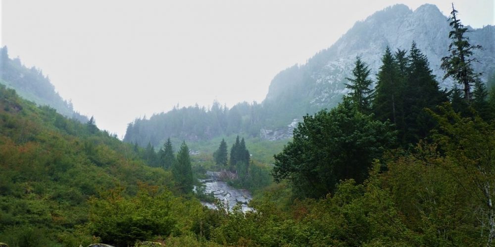
Views from Bornite Trail
As you continue your hike you will notice old pipes from the waterlines, ore drills and how the huge boulders were once used as counterweights. Poke around and enjoy this historical place but leave it intact for others to enjoy. Just before reaching Copper Creek, you’ll notice a long pipeline going uphill. This brought water down to the camp. Along this pipeline are the remains of the old Forest Service Copper Creek Trail, a path that was abandoned many years ago. When you stand at Copper Creek and look up, you are seeing Windy Pass where the mine was located. Sometimes you’ll see the bare rock, sometimes, earlier in the season, you’ll see the amazing Bornite Falls.
When hiking the backcountry and especially when on user trails be sure you notify someone where you will be heading to. Be prepared for any kind of conditions and that it can be easy to get turned around out there. This trail information is for informational purposes only.
Getting there:
Drive east through Darrington, to the intersection of SR 530 & the Mountain Loop Highway, turn right going south, drive 2 miles to FS road #2060, (this is also the road that takes you to Asbestos Creek Falls), drive 5.7 miles where you will come to a Y in the road, keep to your right which will put you onto FS road #2065, (this is also the road to Eight Mile Creek Trail #654.1 which you will pass at 6.2 miles) and you are driving on the old tramway bed to the Bornite Mine and the road becomes pretty rough. At 6.6 miles you will come to a wide spot in the road with a clearing and good view of Helena Peak. This is a good place to park and begin your hike.
History:
It all started in the late 1890s with the discovery of Bornite at Copper Creek. Developing a mine quickly followed in 1902.
Length: about 3.5 miles
Elevation: 1,600 – 2,200
Level of difficulty: more difficult
