Sulphur Mountain Trail #794
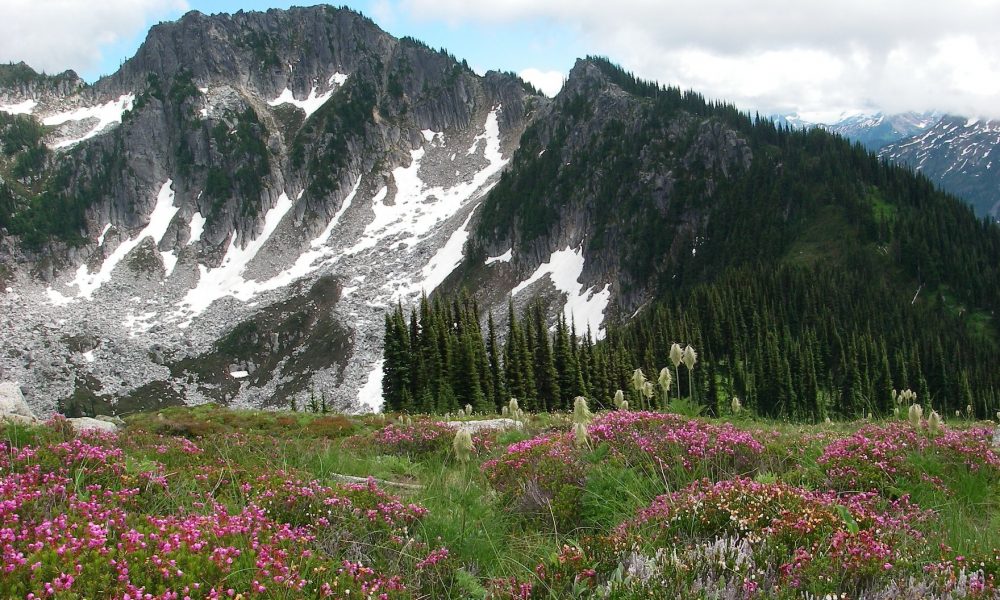
This seldom hiked trail is completely in the Glacier Peak Wilderness and is accessed a short distance from hiking on the Suiattle River Trail #784. The trail begins a steady climb of switchbacks through a brushy forest. Watch for the stream at about a fourth of a mile, this is the only source of water on this hike. The trail continues it relentless climb through open forest. At 3 miles views open up at a rock slope. Continue hiking along the ridge crest to a high mountain meadow. There are several way trails to explore and a couple of nice campsites here, but remember no water.
Views in all directions are here with Glacier Peak will seem so close you can touch it! Along the canyon, you’ll see Dusty Creek, known for kicking ash dust from the Suiattle River wind currents. You will see Green Mountain and Downy Mountain to the west, Dome Peak to the north and White Chuck Mountain across the Suiattle Valley. Far below is Sulphur Mountain Lake at an elevation of 5,200 feet. The true Sulphur Mountain summit looms over you at an elevation of 7,140.
Continuing upward beyond the meadow to the old lookout site, the trail reverts more to a boot path used by some to traverse up to the Bath Lake High Route and climbing route to the true Sulphur Mountain summit where the lookout was.
There was no physical lookout built on this peak and only served for a couple of years, abandoned in the 1920s. This was a seasonal “rag house”, a tent the lookout man built for shelter while taking his post. Imagine this rugged lifestyle living high on that summit with the only source of water being the lake far below.
.
Views From Sulphur Mountain Trail
Getting there: From the Darrington Ranger Station drive north on SR 530 seven miles, after crossing the bridge over the Sauk River, turn right onto the Suiattle River Road, FSR #26, drive 22.6 miles to the end. The trail begins at 0.1 mile on the Suiattle River Trail #784.
History: This trail takes you on the steep climb up to the old Huckleberry Mountain Fire Lookout site.
Type of trail: USFS
Length: 5 miles one way
Elevation: 1,800 – 6,000
Level of difficulty: most difficult
Best seasons: Summer & Fall
Wilderness restrictions: Yes, the whole trail is in the Glacier Peak Wilderness
Northwest Trail Pass required
Restroom: Vault toilet at trailhead
For more information:
