Sulphur Creek Trail #793
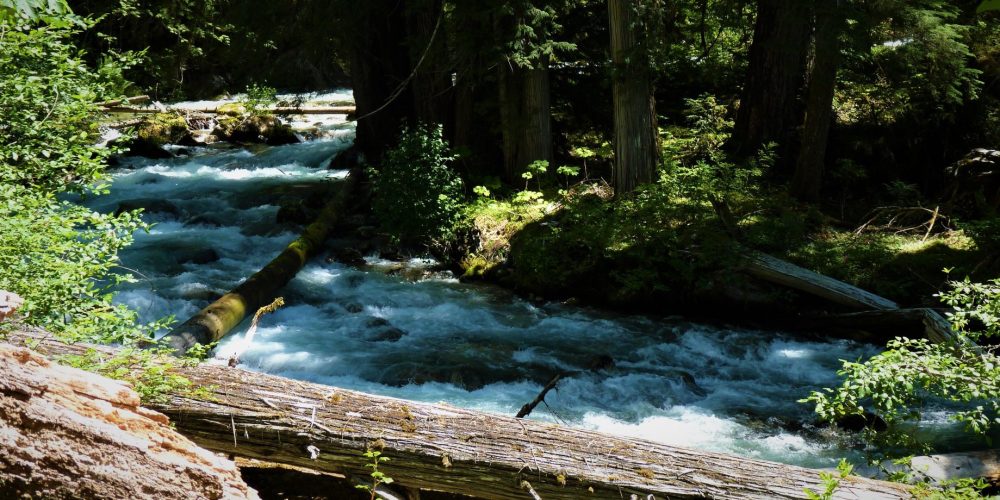
The trail begins directly across from the Sulphur Creek Campground. It starts with an initial steep climb through mixed forest winding in and out high above the creek. Eventually the trail drops down to the creek offering some views where the creek forms pools and small waterfalls.
At one time this trail was much longer and in the 1930s maps shows it as an eight mile trail. Today the trail becomes obscure at about 1 mile. There is still some boot path and some flagging. At about 1 mile, there is a Y in the trail, to the left is the bushwhack trail up to the warm springs, a small pool with very small capacity. To the right, is the existing hiking trail, which eventually fades out.
Views From Sulphur Creek Trail
Getting there: From the Darrington Ranger Station, drive north eight miles on SR 530, after crossing the bridge over Sauk River, take the next roa right, the Suiattle River Road, FSR #26, drive 23 miles to the trailhead on the left, north side of the road, across from the Sulphur Creek Campground.
Type of trail: USFS
Length: 1.8 miles
Elevation: 1,500 – 2,040
Level of difficulty: easy, to moderate
Best seasons: Late Spring, Summer & Fall
Wilderness restrictions: Yes, enters the Glacier Peak Wilderness
Northwest Trail Pass required
Restroom: Vault toilet at Sulphur Creek Campground
For more information:
