Lost Creek Ridge Trail #646
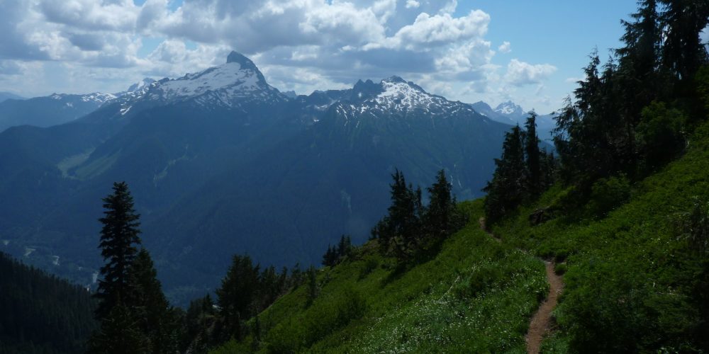
The trail starts off winding easily through dense forest lands. At about 0.5 miles you begin what seems like an arduous climb of countless switchbacks. After a heart-pounding refreshing workout you begin to see light coming through the trees from the horizon and get a few tantalizing glimpses of the surrounding mountains. What you are about to witness will make you forget all about those switchbacks. At 3.25 miles you reach Bingley Gap at an elevation of 4,400 feet. The trail now travels to the east along Lost Creek Ridge with marvelous views in all directions!
Continuing east along the ridge there are beautiful views of the mountains from both sides. The elevation here is 5,650. Shortly before entering the meadows and the saddle over looking 12 acre Round Lake you will enter the Glacier Peak Wilderness. A trail drops down 550 feet to the lake where a box toilet and some campsites can be found amidst the trees. The main trail continues east. You will pass a couple campsites with dependable streams along the way. Bring a stove for heating water or cooking as campfires are prohibited.
Not only are the panoramic views from the trail absolutely breathtaking but the wildflowers in summer are as equally amazing. The cold night airs of late summer and fall transform the slopes into a vista of dazzling fall colors.
Views From Lost Creek Ridge Trail
At 9 miles you will come to diminutive Hardtack Lake to the north. At the 11 mile mark you will come across Camp Lake to the south of the trail with a few nice campsites. The trail continues to climb up a knoll to an elevation of 6,000 feet then drops back down a rock strewn basin to 51.2 acre Lake Byrne surrounded by dramatic walls now placing you at an elevation of 5,550 feet. This lake tends to melt out in the latter half of summer. The trail beyond Lake Byrne is seldom used anymore due to flood damage caused in 2003. Segments of the still existing trail descend 2,250 feet to the former location of the Kennedy Hot Springs (no longer functional) and junctions of the White Chuck Trail #643. It then joins up with the Pacific Crest Trail however the bridge over the White Chuck River has long since washed out. Fording the swift waters of the White Chuck River is extremely dangerous and not recommended.
Getting there: Drive from the Darrington Ranger Station south 19.7 miles on the Mt. Loop Highway to Sloan Creek Road (Forest Service road 49) and turn left (east). Follow this road for 3.5 miles to the signed trailhead. There is limited parking available.
Type of trail: USFS
Length: 3 miles to Bingley Gap, 4 miles to Round Lake, making a nice day hike – Total trail distance is 11 miles
Elevation: 1,800 – 4,425
Level of difficulty: moderate to difficult
Best seasons: Summer & Fall
Wilderness restrictions: Yes, enters Glacier Peak Wilderness
Northwest Trail Pass required
Restroom: No
For more information:
