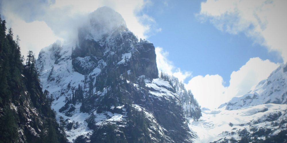
Snow Gulch Trail
The trail to “Snow Gulch” is a beautiful as well as historical hike, beginning with the bridge crossing Moose Creek. This creek gets its name from one of the old mines that was located where the bridge at the beginning of the trail is now. These several mines were called Calf Moose, Twin Moose and Cow Moose and were placer mines. The word “placer” is an old Spanish word meaning “sand bank”. A placer mine is an open mine such as a sluice boxing or gold panning operation.
You will continue your walk on an old road which is a moderate to sometimes steep climb that gets more like a trail as you go due to erosion . The forest is carpeted in rich ferns and moss and in May and June is full of Hooker’s Fairy Bells, Western Bleeding Heart and woodland violets. At 1.75 miles you will see a sign for the Neiderprum Trail #653, with climbing route to Lone Tree Pass and Whitehorse Mountain.
When you almost come to the end of the road, which is a little under 2 miles, you get a peek at Snow Gulch and the many waterfalls cascading down from the basin. Just a little after you get your first glimpse of Snow Gulch you come to one of the mining tunnels of Pioneer Sam Grabe. Have a good look inside, but to enter an old mining tunnel is dangerous, supporting timbers have been rotting away over the years and ground inside can be very unstable.
At this point you are now standing at the base of Whitehorse Mountain looking up Sill Basin and its many waterfalls. There is no trail at this point and involves fording a creek which can be quite swift during spring and early summer run-off. Keep in mind, you are looking up at a place where boulders and large chunks of ice and snow can come down from the basin.
The historic hike to Snow Gulch is a mixture of majestic mountain peaks, waterfalls and some mining history.
Views of Snow Gulch and Trail
Getting there: To get to Snow Gulch go west from Darrington to Whitehorse about 5 miles, turn left on Old Mine Road and drive .6 miles then you will come to a concrete barricade on the left and a steel gate on the right. The way to Snow Gulch is past the barricade over a bridge across Moose Creek then on to the old road.
History: Historical routes to to Moose Creek Placers, Grabe’s Mine and along the trail the trailhead to USFS Neiderprum Trail , once a route to Neiderprum’s lime mine.
Type of trail: Old Road – User Trail
Length: about 2 miles one way
Elevation: 500 – 800
Level of difficulty: easy to moderate
Best seasons: Summer & Fall
Wilderness restrictions: No
Northwest Trail Pass required, No
Restroom: No
