Downey Creek Trail #768
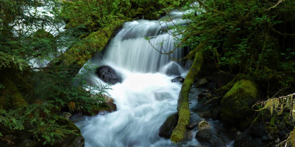
This trail starts off with a gentle grade through old growth Douglas Fir forest complete with mossy understory. Once you reach the switchbacks you have already gained 300 feet of elevation. In another half mile the trail enters the Glacier Peak Wilderness and soon the melodious sounds of Downey Creek grace the ear. The trail assumes a gentle grade and travels along Downey Creek occasionally offering some nice glimpses of the water below. At about 2 miles you will come to your first stream crossing, a challenge during snow-melt.
The giant Douglas Fir trees along the trail are very impressive but if they have fallen across the trail one may have to find an alternate path. When you reach about 3 miles you will come to a large avalanche chute where you can see the vast destruction of a crumbling mountain and the boulders that thundered down into the forest below. Look through the natural break here and catch a view of Green Mountain above. On a clear day if you scrutinize closely you might see the Green Mountain Lookout.
Along Downey Creek Trail
Campsites can be found at 3 and 3.5 miles. The trail crosses five tributaries of Downey Creek and can be a bit challenging so be prepared to get your feet wet. As the trail continues there will be a couple of boardwalks traveling through some wetlands followed by another stream fording. At 4 miles you will come to an additional campsite. Continuing onward you will hear a sizable creek ahead, but thankfully this one has a bridge crossing.
At 6.6 miles you come to the end of the Downey Creek Trail and its largest tributary, the raging Bachelor Creek. Across the Bachelor Creek bridge are some nice campsites where an old shelter use to be. If you continue hiking from this point you are now walking the long abandoned Bachelor Creek Trail #796 which ascends toward The Ptarmigan Traverse.
Getting there:
From the Darrington Ranger Station, drive north on SR 530 8 miles, turn right on the Suiattle River Road, FSR #26, drive 20 miles to the Downey Creek Trailhead. The trail is just past the Downey Creek Bridge on the left. Trail parking and vault toilet is on the right.
Type of trail: USFS
Length: 6.6 miles
Elevation: 1,400 – 2,400
Level of difficulty: moderate
Best seasons: Summer & Fall
Wilderness restrictions: Yes, trail enters the Glacier Peak Wilderness
Northwest Trail Pass required
Restroom: Vault toilet at trailhead
For More Information :
