Neiderprum Trial #653
The Neiderprum Trail #653 is only 1.4 miles long however due to road damage at the bridge before the trailhead find a barricade which will add 1.25 miles to the hike. The first portion of the hike which follows the old road is also the beginning of the route to Snow Gulch. The road gradually ascends to the trailhead and the climbing becomes steeper as you move upward. This trail will certainly give the cardiovascular system a real work out, but the views make it all worthwhile.
The original trail was built by Chas Neiderprum, who once prospected in the Darrington area. He built this trail to his limestone mine so his pack horses could shuttle provisions to his cabin and carry down ore from his claim. As you hike up the switchbacks you will see a sign to the left posted on a tree denoting where you now enter the Boulder River Wilderness. At about 2/3 of the hike you will come to a slide area that opens to some fine views to the north of the town of Darrington, the Sauk River Valley and the mountains beyond.
Beyond the slide the trail becomes a bit steeper and brushier with the omnipresent fallen tree to navigate over or around. Occasionally there will be a canopy opening in the trees to provide a glimpse of the surrounding mountains to the northeast. Towards the end of the hike at 1.4 miles the trail branches in a couple of directions all leading upward. As you ascend, breathtaking views of Sill Basin begin to open up. The trail to the left drops down to what is sometimes referred to as the “flat”. That too has some amazing views.
Upon this small level clearing once stood the mining cabin of Chas Neiderprum. Beyond this point the trail is scarcely marked and disappears in the brush. Continuing further begins the climber’s route to the upper reaches of Whitehorse Mountain. As you make your way back down the trail imagine, if you will, a man leading pack horses laden with heavy ore making this same trip day after day. As this is recognized as a well used climbing trail the Forest Service has added improvements to the switchbacks helping to form a more gradual descent.
History of Chas Neiderprum was gathered from his descendants.
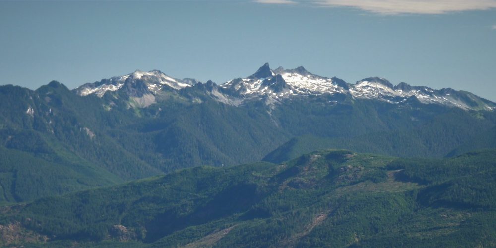
Views From Neiderprum Trail #653
Getting there: Drive west from Darrington on SR 530 to Whitehorse about 5 miles, (look for the Whitehorse Shell Station), turn left on Old Mine Road and drive .6 miles where you come to a concrete barricade on the left. Park here and skirt the barricade, cross the bridge and walk alongside the washout toward the trailhead.
History: Roughly following the route to the Chas Neiderprum Limestone Mines
Type of trail: USFS
Length: 2.6 miles one way
Elevation: 800 – 2,300
Level of difficulty: difficult
Best seasons: Summer & Fall
Wilderness restrictions: Yes, enters the Boulder River Wilderness
Northwest Trail Pass required
Restroom: No
For more information:
