Sloan Creek Road Drive
Sloan Creek Road is both beautiful and historical! The road roughly follows the old trail to Sauk Pass and Indian Pass over the mountains to the Wenatchee area. This was a well traveled route used by the local Sauk-Suiattle tribes then later by prospectors. Later the logging railroad laid tracks along the North Fork Sauk River and today it is Forest Service Road #49, Sloan Creek Road.
What makes the Sloan Creek scenic drive a unique destination is this is the only drive where you will see the beautiful North Fork Sauk River and ending up at Sloan Creek a major tributary. There several places to pull over along this wild river and enjoy a picnic. Get out and stretch your legs with two short easy day hikes to huge majestic cedar trees and a 60 foot waterfall!
To get to Sloan Creek Road, drive about 16 miles south from Darrington on the Mountain Loop Highway and turn left onto Forest Service road #49, Sloan Creek Road. The road gradually climbs through forested land. At mile 1.2 you will see the turnout for the trail to North Fork Sauk Falls. The 0.2 mile trail descends 200 feet to a great view of the waterfall. You can hear the waterfall from the road and sometimes see the mist rising from the tremendous force of the North Fork Sauk River as it is forced through the narrow canyon below.
Reaching miles 1.7 you see a massive pile of boulders to the left. This called Penders Canyon and every winter it washes rocks down on the road. Notice the road dips at this location so that water can flow over the road. This is called a road ford and is used where culverts can’t be installed to route water because they will constantly block with materials. There are two road fords on this drive. At miles 2.6 you will come to a turnout along the road with a very nice view of the river.
When you reach miles 2.7 look up the slopes of Bedal Peak to the right where a creek makes several drops forming waterfalls. During heavy snow melt you can hear the waterfall from the road. At miles 3.0 you will reach another turnout where the river forms deep pools and a sandy bank. This area is a popular primitive camping site. You will see the Lost Creek Ridge trailhead to the left as you reach miles 3.1. This is a longer day hike and backpacking trail with several steep switchbacks eventually bringing you to the ridge above and amazing views! At miles 3.4 you will reach your second day hike the Harold Memorial Grove. The trailhead is on the right and you will see the trail dropping down the bank to the trees below. This is an easy loop trail with very little elevation gain.
Continuing on your drive you will come to the Lost Creek Ridge Trailhead on the left then cross the bridge over Lost Creek at miles 4.4. The Sloan Peak Climbing Route is just beyond this and you will see the sign on the right. At miles 6.6 you come to the second road ford where often a couple of inches of water is flowing over the road.
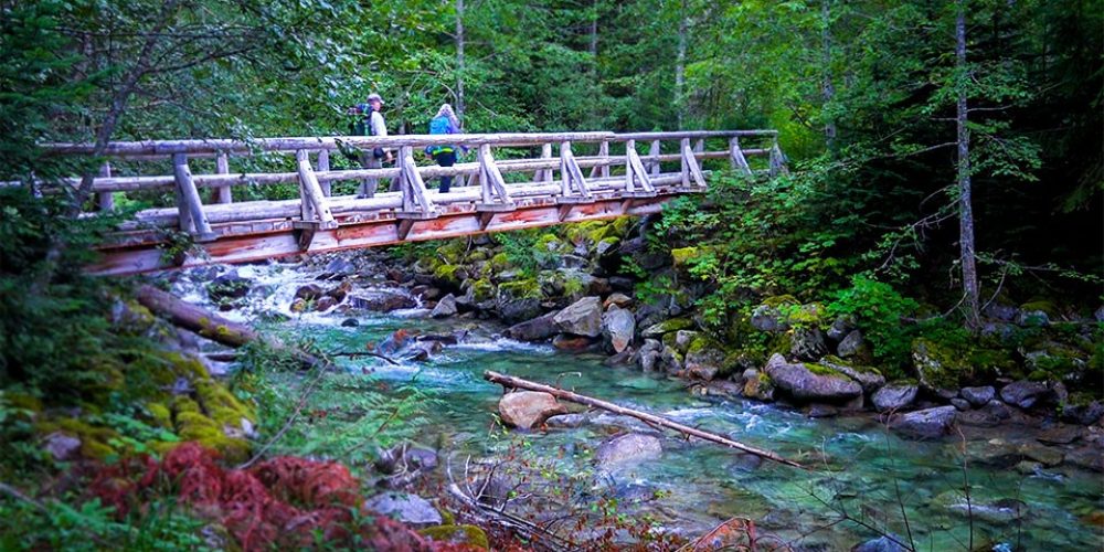
You will reach a Y in the road at about 7 miles, the road to the left goes to the North Sauk Trailhead and the one to the right is Sloan Creek Road continues going to the Curry Gap – Bald Eagle Trailhead. After driving almost a half mile you will come to the trailhead where there is a foot bridge to the trail over beautiful Sloan Creek, North Fork Sauk River’s biggest tributary. There is a vaulted toilet at the trailhead. Once Reaching the trailhead parking area at the end of your drive, the views of the mountains are spectacular! The current Bald Eagle trail starts off on what was once the Sloan Creek Road.
You will see the old Forest Service Road # 4920 up slope from the parking area which some people still hike today to get to Bowser Lake.
